
Tuesday Morning Weather Brief — September 16, 2025
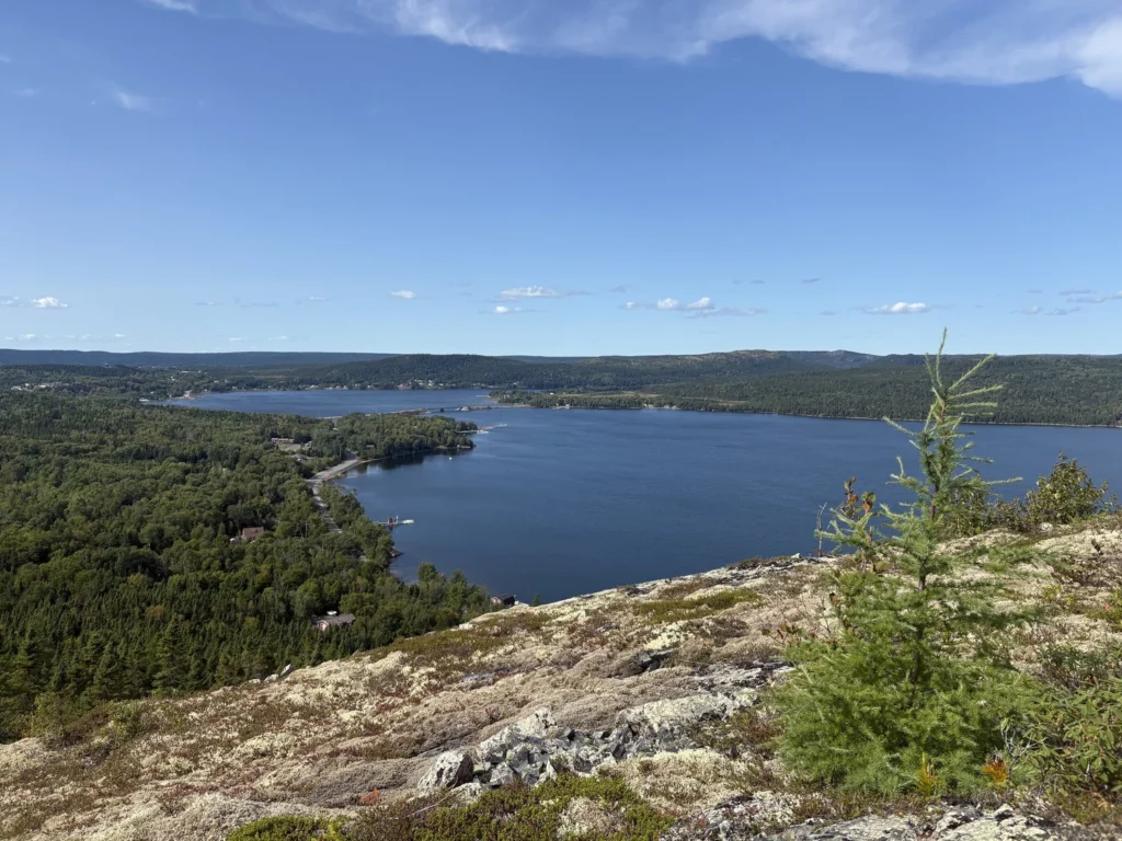
Credit: Kathy Crewe | Mill Cove Trail (Terra Nova National Park)
Good Tuesday morning!
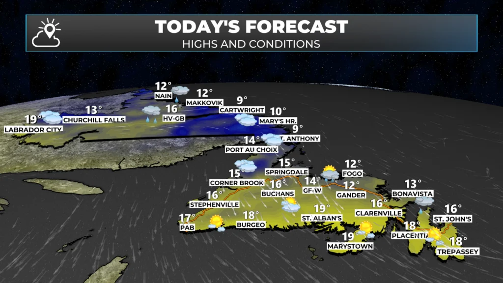
We are waking up to some showers across parts of the Island and southeast Labrador this morning. While I’m not expecting widespread rain today, showers remain in the forecast for eastern and northeast Newfoundland into the afternoon. Meanwhile, an area of rain will be found over interior Labrador later today, which will drift towards the coast this afternoon and evening.
Temperatures today are starting off in the teens and single digits across the Province. This afternoon, we will see readings climb into the lower to middle teens across the majority of the Island. Some areas along the South Coast will reach the upper teens later today.
This morning’s update is sponsored by Roebothan, McKay, and Marshall.

Visit MakeTheCall.ca to learn more about what the law firm can do for you.
Temperatures for parts of eastern and central will take a bit of a tumble this afternoon as the wind direction subtly changes from northwest to north. This will be evident in the Metro area after 2 or 3 PM. Projections indicate the temperature will drop from 15º around 3 PM to just 11º at 6 PM.
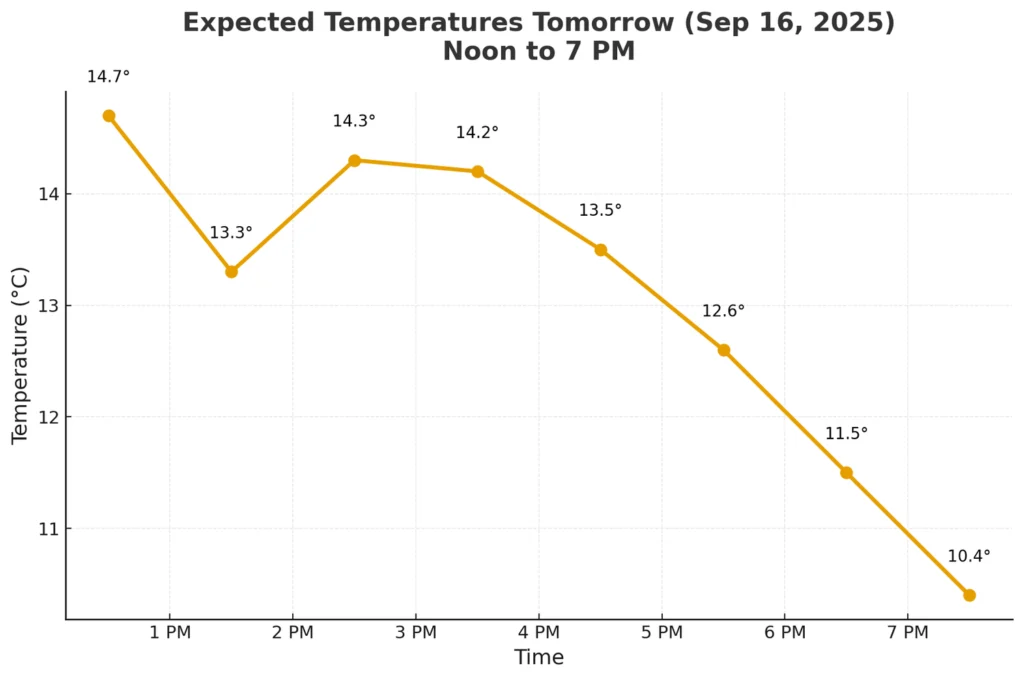
Today’s temperature forecast for the Northeast Avalon / St. John’s Metro.
Beyond the temperature drop, there’s not much on the go for much of the Province, weather-wise, today. There will be some rain that spreads into interior and eastern Labrador, as mentioned above, later this afternoon and tonight. That will work toward the Northern Peninsula by Wednesday morning. And Wednesday looks very similar to today.
A strong low will pass through Labrador later this week, which will usher in some much cooler air, province-wide, for the weekend. Ahead of that, it does look like there will be a surge of warm air on Thursday and Friday over the Island. This may bring St. John’s its 80th day with a high of at least 20º in 2025. If that ends up happening, that would be a new record since data has been kept at the airport (1942-2025).
My next forecast will be posted later today. Have a great Tuesday!
Eddie
Good morning Eddie,thanks for weather update.
Thanks Eddie
Morning coffee and Eddie, my new morning routine.
Thanks Eddie
Thanks Eddie !
Thanks Eddie, have a great day.