
September Ends With Some Frost in the Forecast for much of NL
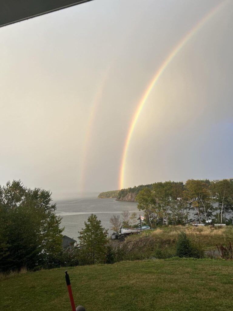
The last day of September sure went out with a bang across parts of Newfoundland, with some stunning evening skies and showers. Check out this beautiful rainbow shot from Little Bay (Burin Peninsula), captured by Pam Matthews. Thanks Pam — and thanks to everyone who shared their photos through social media and the Sheerr Weather app.
Showers & Radar Recap
As of just after 7:00 this evening, heavy showers were working across the Avalon Peninsula, stretching from St. John’s and Torbay back through Placentia and over towards Bay Roberts and Port de Grave. Some reports even came in of small hail near Arnold’s Cove, thanks to colder air aloft.
These showers are moving quickly and will fade out as the evening goes on. Outside of that, much of Newfoundland and Labrador is quiet under clearing skies.

Tonight’s forecast is proudly sponsored by the St. John’s International Women’s Film Festival, happening October 21–25. Click here to learn more or to get your tickets!
Looking Ahead – Big Warm-Up
High pressure over Quebec keeps the province quiet into late week, while warmer air builds in from the west. After a chilly Wednesday and Thursday, temperatures rebound:
Friday & Saturday: mid-teens
Sunday: near 18°C
Early next week: some areas could touch 20°C
Fun fact: St. John’s typically only averages one 20°C day in October (according to Rodney Barney at ECCC). We may have a shot at adding one more this year.
Tropics Update – Humberto & Imelda
Out in the Atlantic, we’re still tracking two hurricanes:
Hurricane Humberto – once a Category 5, now weakened to Category 1 and expected to become post-tropical soon. No threat to land.
Hurricane Imelda – now a Category 1, strengthening and on track to pass directly over Bermuda Tuesday night into Wednesday morning as a Category 2. Hurricane watches and warnings are in place there.
While these systems are generating large waves (5–7 meters, with max waves double that) near Bermuda, most of that wave energy will stay well south of Newfoundland and Labrador.
Final Word
A quiet, chilly night ahead with frost likely in many inland areas, then a gradual warm-up into the weekend. The tropics remain active, but no direct impacts expected here at home.
📲 Don’t forget — you can get all the latest forecasts and updates on the Sheerr Weather App, available in the Apple App Store and Google Play. Or just head to sheerrweather.ca for quick links.
Good evening Eddie, thanks for weather update.
I appreciate all you do to keep us informed at every level, Cheers Eddie!!
Thanks Eddy, can you update on northern lights too please! Love the new app
Missed your weather forecast. Glad to have your app Eddie. Keep up the good work.
Greg Fowlie