
Heavy Snow Continues On Labrador’s Coast While Quieter Weather Starts to Take Hold Across Newfoundland (for now…)
Many areas of Newfoundland and Labrador have seen significant snowfall over the past couple of days, with Gander standing out in particular. Snowfall in and around the area has now topped 90 cm for the month, and much of that snow has not melted.

This forecast is sponsored by CU Financial Management. Your steady hand—guiding you through every forecast, financial or otherwise.
Visit cufm.ca/forecast today for expert advice.
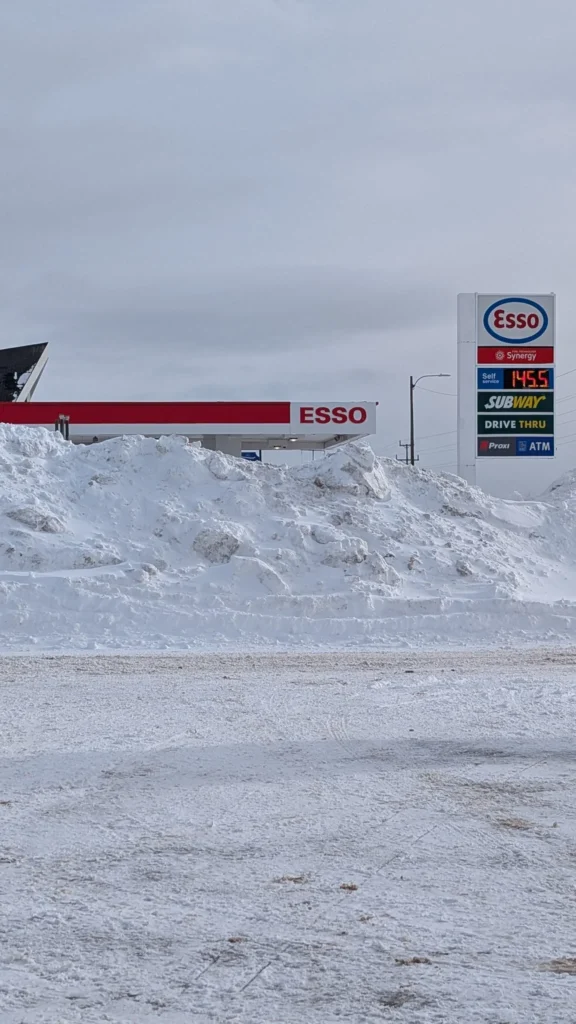
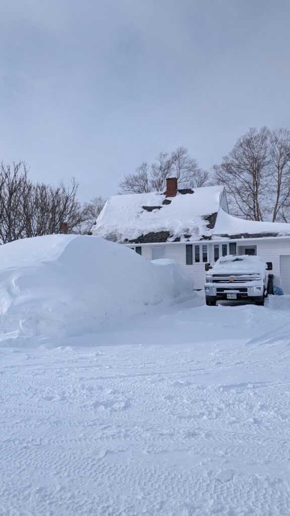
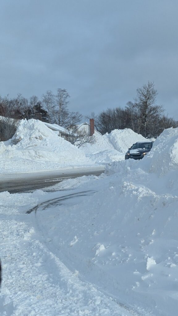
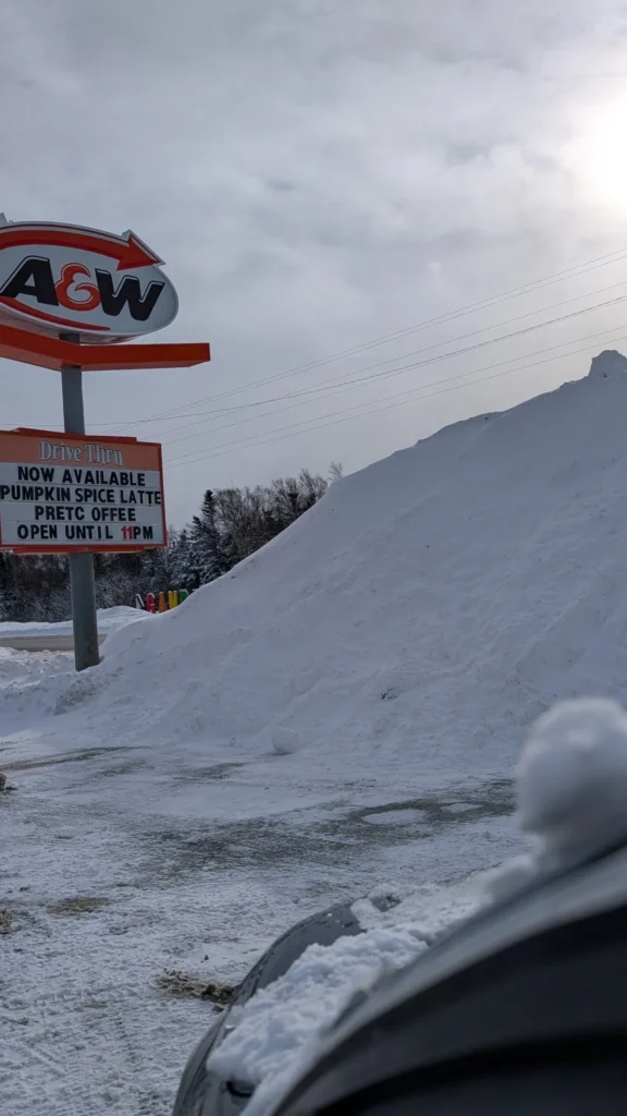
Photos taken earlier today by Tory Boone show just how impressive the totals are — from deep snowbanks near the Trans-Canada Highway weather station, to snow nearly reaching rooflines in parts of town, and even towering piles nearly as high as the A&W sign. It’s a stark reminder of how relentless this winter has been so far.
What’s Ahead in the Short Term
The good news is that there isn’t much additional snow expected over the next couple of days for most of the Island. However, that doesn’t mean we’re in the clear.
Coastal Labrador will continue to see periods of snow through at least Saturday, with heavy snowfall ongoing in some areas.
The Northern Peninsula will also see more snow, particularly Friday night into Saturday morning.
Elsewhere on the Island, snow will be more scattered and generally lighter.
Temperatures tonight will fall into the minus teens to minus single digits in Labrador, and minus single digits across much of the Island.
Why This Pattern Won’t Budge
This prolonged stretch of unsettled weather is being driven by a stubborn blocking pattern, with a strong high near Greenland forcing areas of moisture and snow to move east-to-west across the Atlantic, rather than the usual west-to-east flow. Labrador has been taking the brunt of this, with the Northern Peninsula occasionally getting clipped as well
Meanwhile, a separate system east of Halifax will stay just far enough away from the Avalon overnight to spare us another quick-hitting snowfall. A slightly closer track would have meant 20+ cm in a hurry — but that’s not expected at this time.
Wind and Travel Concerns
Winds will ease overnight but pick back up Friday, especially for eastern and northeastern Newfoundland and coastal Labrador. Winds in the Cabot Strait could gust 80–100 km/h Saturday, which may again impact ferry operations, even if conditions on the Island itself are more manageable.
Snowfall Totals
Over the next 48 hours:
Most of the Island: light to modest snowfall or not much at all.
Northern Peninsula: 5–15 cm, locally higher in elevated areas
Labrador (Rigolet to Nain): 30–50 cm, with over 50 cm possible in higher terrain
Because of this, Environment and Climate Change Canada has issued a Yellow Level Winter Storm Warning for parts of northern coastal Labrador, including Postville, Hopedale, and Nain.
Looking Toward Next Week
The weekend itself looks quieter and less windy for much of the Island, with conditions improving in Labrador by Sunday. However, confidence is growing that a powerful low-pressure system will develop off the eastern U.S. and move toward Atlantic Canada late Sunday into early next week.
At this point:
Snow and wind look likely for much of Newfoundland starting Sunday night.
There is uncertainty on the Avalon, where snow could change to ice pellets, freezing rain, or rain at some point Monday.
West of the Avalon, this appears more likely to be a mostly snow event.
Amounts are still uncertain due to track and timing, and I’m not ready to lock those in just yet — but this is a system to watch closely.
After this storm moves through early next week, quieter weather finally looks possible for both the Island and Labrador.
I’ll have more updates tomorrow and through the weekend.
I’ll have my next update posted tomorrow morning!
📱 Get the Sheerr Weather App in the Apple App Store and Google Play Store.
🗺️ Check out the Map Room to see all the latest weather observations for the Province.
🎥 Check out the Provincial Highway Cams to see 👀 what’s going on around our highways and byways!
Wow , looks like an interesting Monday fir Metro
Thanks Eddie
Thanks for weather update Eddie