
Freezing Rain and Snow Arrive late Tuesday — Special Weather Statements Issued by Environment Canada
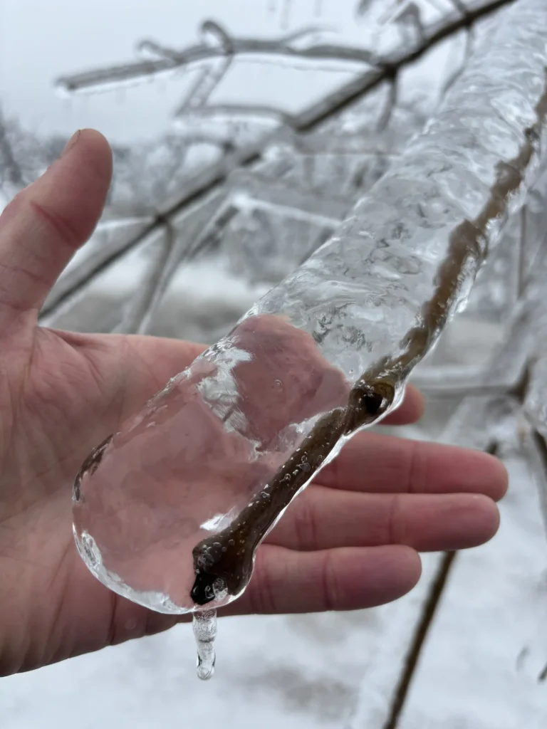
A slow-moving weather-maker will bring an extended period of freezing rain and snow to parts of eastern, central and northeastern Newfoundland from Tuesday evening until Wednesday afternoon or early Thursday morning. Due to the threat of significant ice buildup and snow accumulations in some areas, the Environment Canada weather office in Gander has issued two Special Weather Statements for a good chunk of Newfoundland.
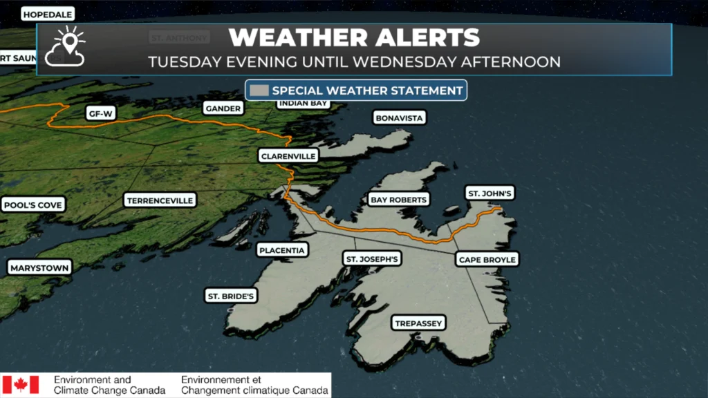
The first Special Weather Statement is in effect for the following areas from Tuesday evening until Wednesday afternoon:
Avalon Peninsula North
Avalon Peninsula Southeast
St. John’s and vicinity
Avalon Peninsula Southwest
Boavista Peninsula
Showers will transition to freezing rain on Tuesday afternoon or evening as temperatures drop through the day and into the evening hours. Freezing rain is expected to continue through Tuesday night over most areas. Forecasts indicate that the freezing rain will change to rain by Wednesday afternoon at the latest.
The freezing rain is expected to last 6 to 18 hours (longest north) and amount to as much as 20 mm or more. Ice buildup on trees and power lines may cause damage or outages. Roads may become slippery, and there is a strong likelihood of flight impacts into and out of St. John’s International from Tuesday evening through Wednesday afternoon.
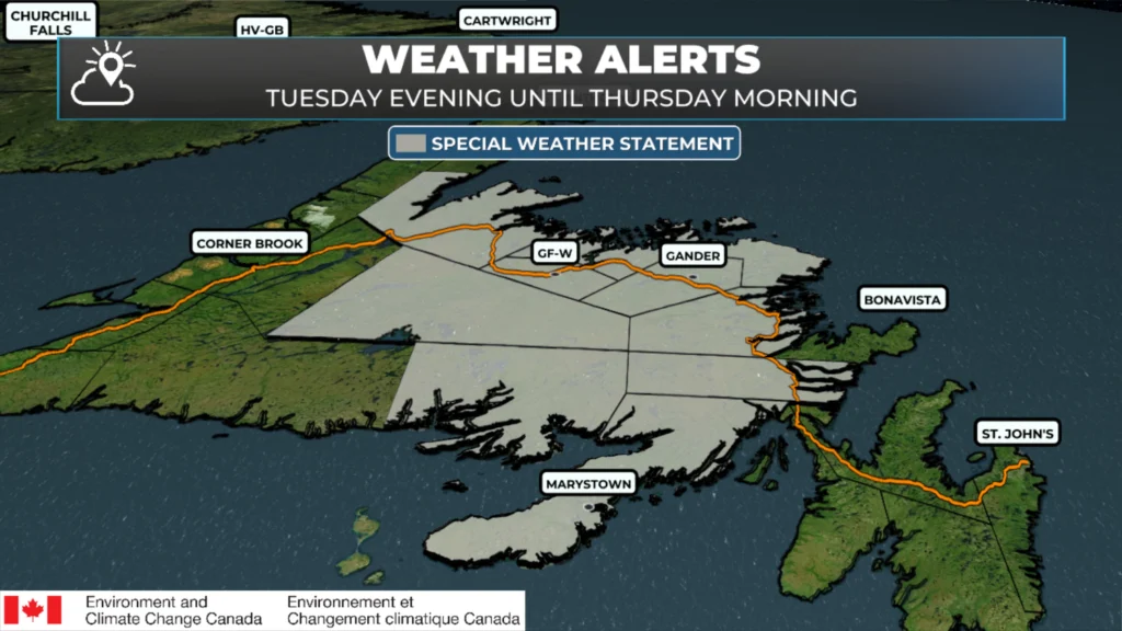
A Special Weather Statement is also in effect for the following areas from Tuesday evening until Thursday morning for the potential for significant snow and ice:
Burin Peninsula
Connaigre
Buchans and the interior
Grand Falls-Windsor and vicinity
Bay of Exploits
Bonavista North
Clarenville and vicinity
Gander and vicinity
Green Bay – White Bay
Terra Nova
The forecast indicates that snow will arrive over much of the area Tuesday evening, with significant amounts likely over some areas before changing to ice pellets and freezing rain Tuesday night or Wednesday. Ice pellets and freezing are expected to persist through the day on Wednesday and into Wednesday night.
Snowfall amounts will be 10 to 25 cm, followed by 6 to 12 hours of freezing rain. Freezing rain amounts may reach 20 mm. Accumulations of snow and freezing rain will create slippery conditions when walking and driving. Only a small amount of freezing rain can make travel difficult. Expect delays from Gander International Airport during this time frame.
Chemtrails are prolonging our winter because the USA is using Newfoundlands airspace. They are manipulating the weather to keep us inside. Wake up people! The weather is fake!
Categorically false.
Oh my, bad news !!
Thanks Eddie for the update ❄️🌧️
Thanks Eddie….and welcome back 😊
Thanks Eddie…. Winter isn’t quite ready to let go just yet….. me nerves….