
Tuesday Morning’s Weather Briefing — June 9, 2026
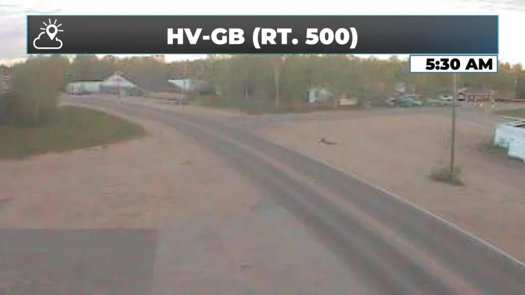
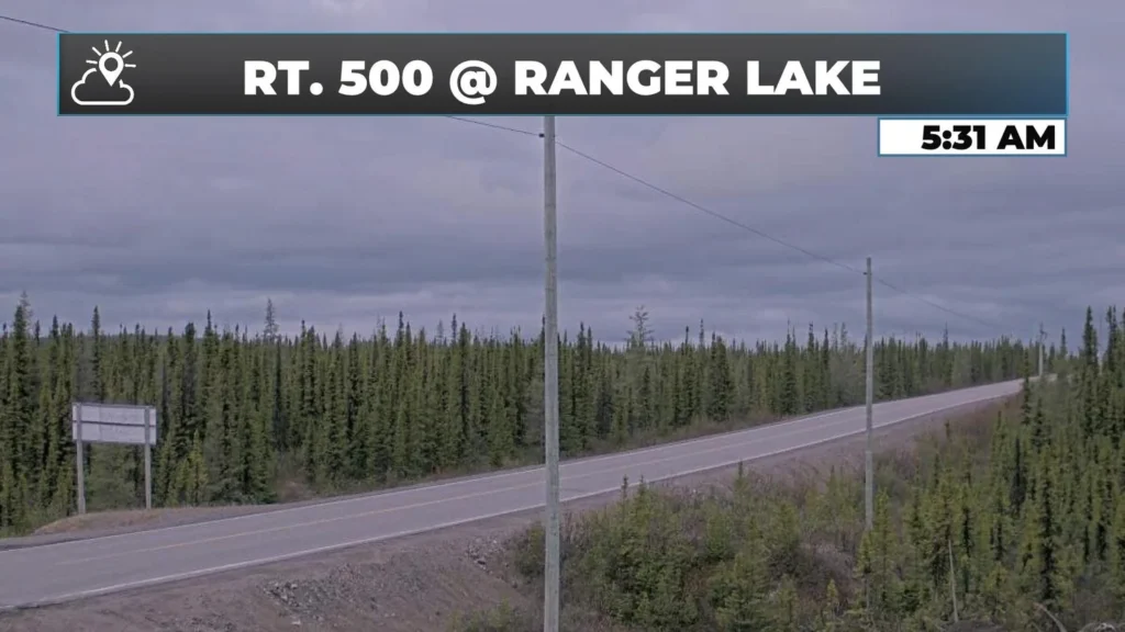
Good Tuesday Morning!
Here are today’s highlights:
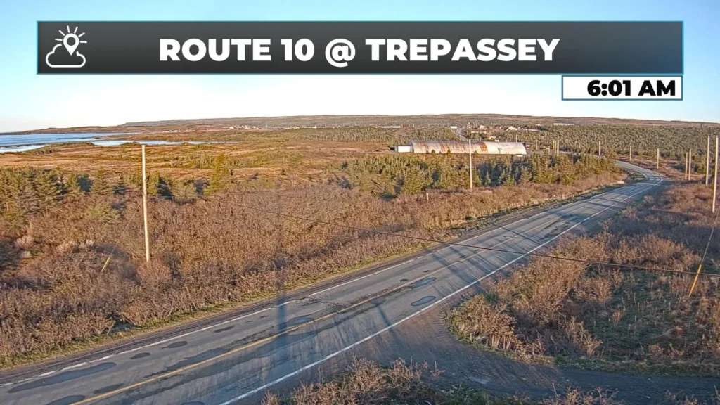
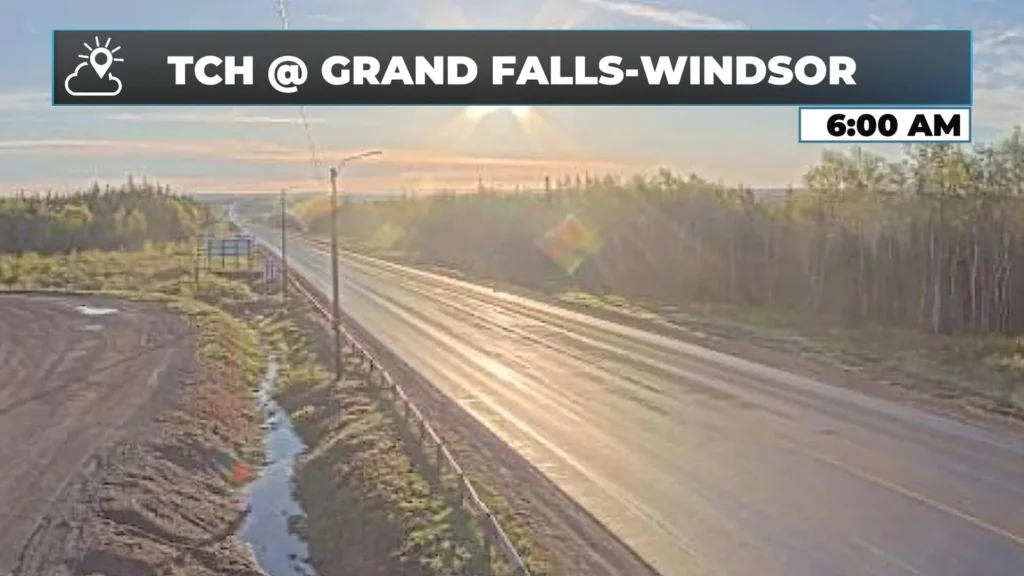
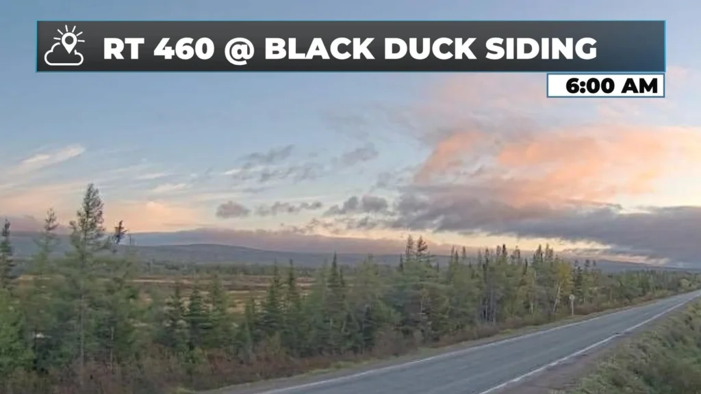
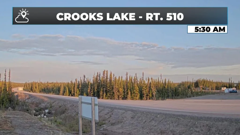
It’s a COOL and sunny start this morning.
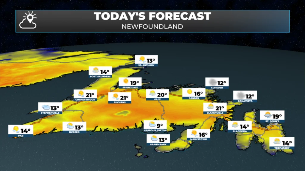
Sunshine will be the rule for most areas today, with highs in the upper teens to mid 20s across the Province.
There will be some pop-up showers and thunderstorms from near Goose Bay to Churchill Falls this afternoon.
Slightly cooler air arrives on Wednesday.
This morning’s update is sponsored by Roebothan, McKay, Marshall.

Visit MakeTheCall.ca today to learn more about how the law firm can help you!
The overnight rain and drizzle that dragged across much of the Island has cleared east, and this morning we’re left with a northwest-to-west wind and patchy cloud behind the departing front. The temperature across the island is generally in the lower to mid single digits above freezing this morning. It should be noted that some areas did indeed see a freeze last night, the only station I can find that dropped below freezing is Badger, and the low was -0.7ºC around 3:30 AM NDT. Meanwhile, temperatures in the Big Land this morning range from the lower single digits to near 10ºC already!
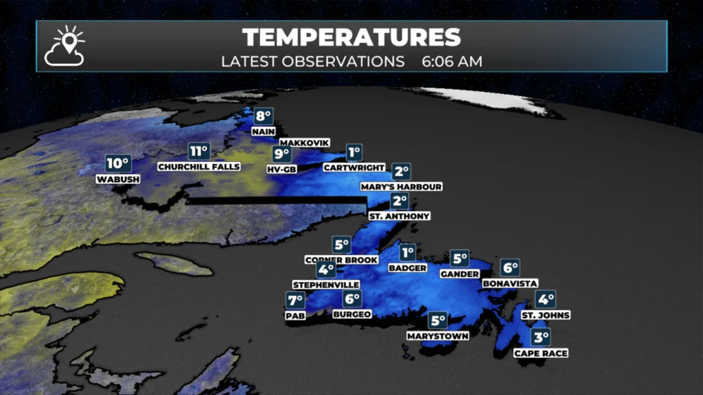
NL Temps as of 6:06 AM NDT (5:36 ADT) on June 9, 2026.
As skies become sunny behind the front, most of the Island, and the Province really, is in for a genuinely nice Tuesday. Highs generally reach the upper teens to lower 20s across the Island. There will be some exceptions in areas of onshore wind and in some spots right along the northeast coast, the top of the Northern Peninsula and through much of coastal Labrador. Areas away from the sea in the Big Land will pop into the lower and middle 20s today!
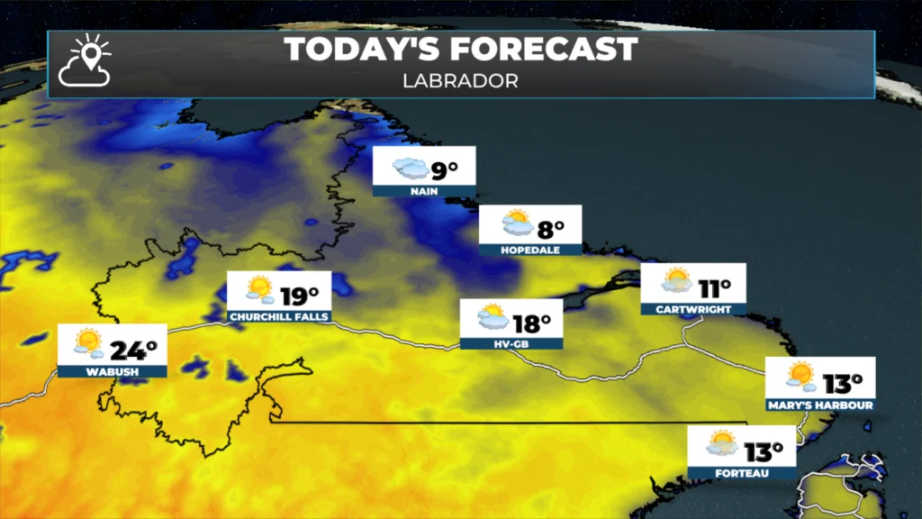
There will be a few pop-up showers and thunderstorms between/near Happy Valley-Goose Bay and Churchill Falls this afternoon. Forecasts indicate that it will develop mid to late afternoon and drift toward the southeast. These storms may be capable of producing locally heavy rainfall, gusty winds and frequent thunder and lightning.
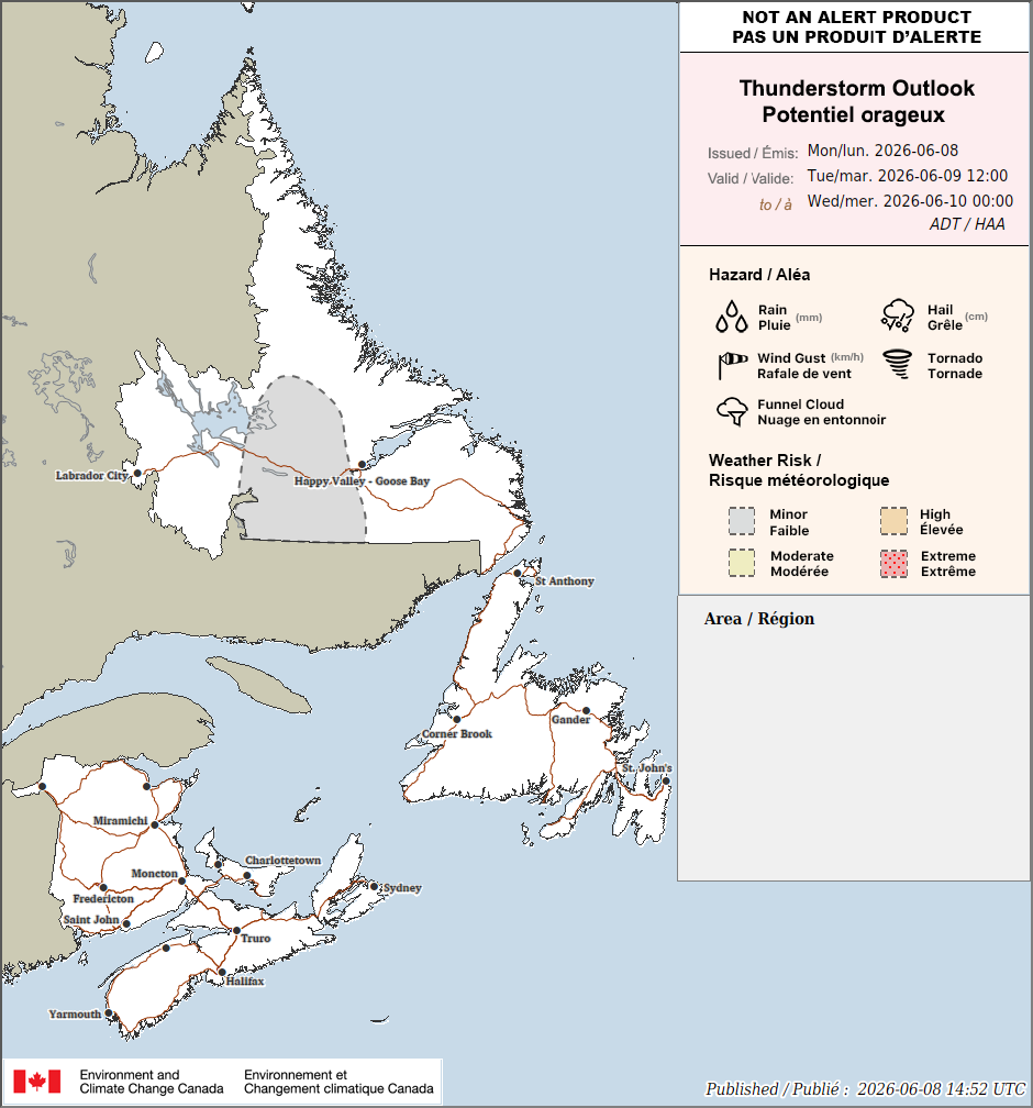
Today’s thunderstorm risk for Newfoundland and Labrador from Environment Canada. June 9, 2026
An area of high pressure begins to build down from the Labrador Sea overnight, and the flow around that will start to turn the wind more onshore for most of coastal Labrador and Newfoundland’s north and east-facing shores. That will set the stage for a few showers tonight and generally a cooler day tomorrow under sunny skies.

Thanks for weather update Eddie
Good morning Eddie it’s definitely a beautiful day, enjoy and thanks for the update
Thankyou for the beautiful weather update
Thanks for such detailed weather forecasts, Eddie! Keep up the great job!