
Light Snow And Rain Ends On The Island By Midnight
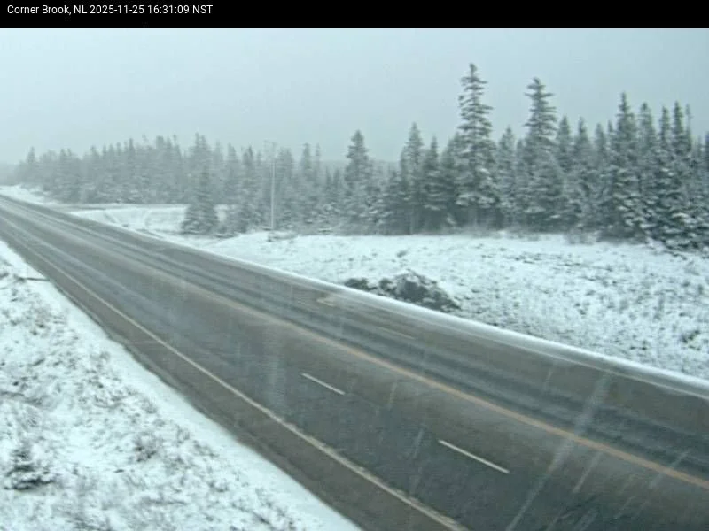
The NL Highway Camera on the TCH in Corner Brook at 4:31 PM NST, on November 25, 2025
A weak disturbance has arrived on the Island and is bringing snow to western areas this evening. Roads in some areas of the West Coast are likely snow-covered, but most are more than likely just wet or slushy as temperatures are near or above freezing. Icy spots will become a little more common overnight. Radar shows light snow or rain is not far from arriving in Central Newfoundland, heading east.
This area of light rain and snow will not last long and will end on the West Coast by early evening. This will move into Central… well, now.. followed by eastern areas this evening. This is a fast mover and will be off the east coast of the Island by midnight. Behind it, there will be some onshore flurries in the higher terrain of western Newfoundland. The future radar animation (below) times out well.
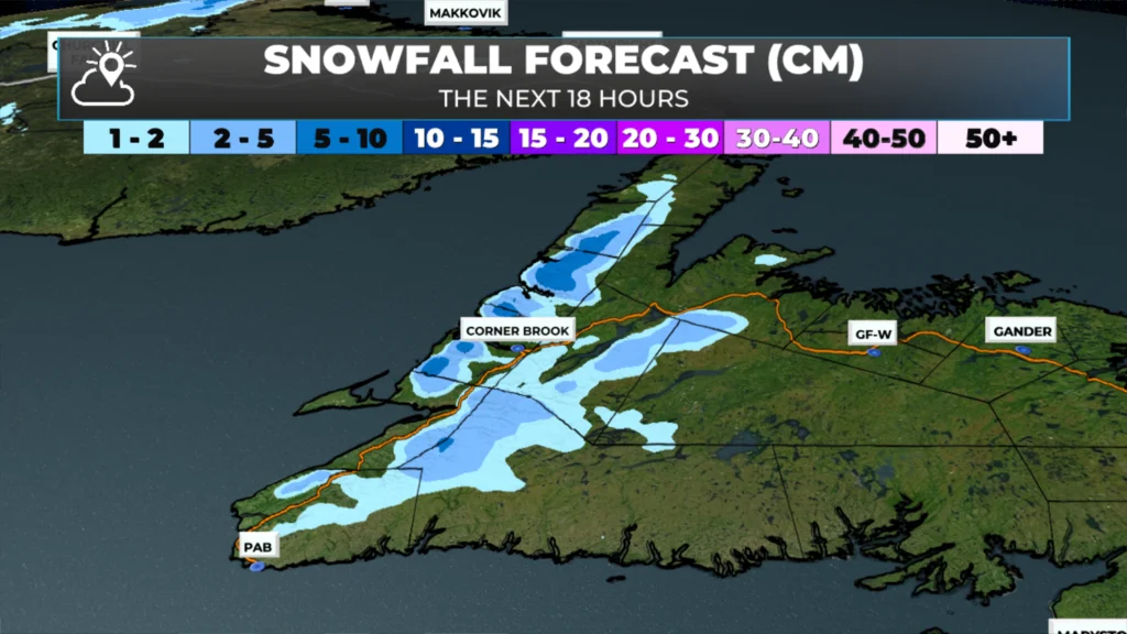
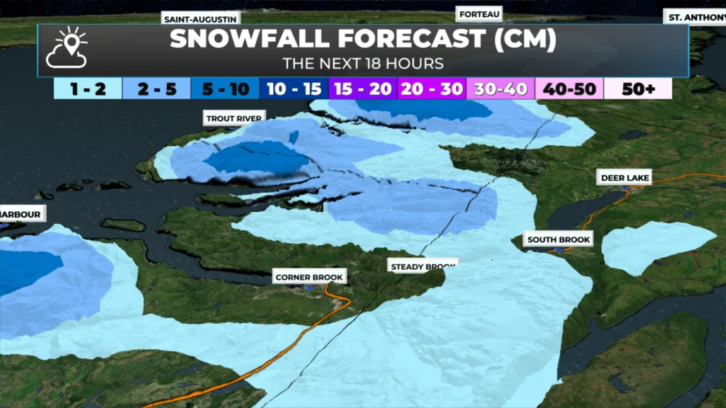
Snowfall amounts will not be very high outside of the higher terrain on the West Coast. The GRAF model (part of the Sheerr Weather graphics system) suggests only a few centimetres will even occur in those areas through the next 18 hours. So while we may see the snow fly, once we are through this evening, the weather will improve and set the stage for a nice Wednesday across NL.
Thanks Eddy for your work
Thanks Eddie! Really like your weather site!
Thanks Eddie for weather update
Thank you
Thank-you Eddie. We’re still holding our own on the East Coast but temp appears to have dropped just a little