
An Active Week Ahead
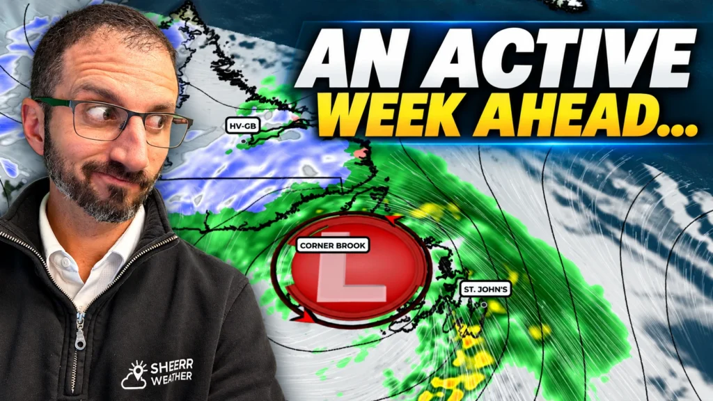
Rain and Wreckhouse winds arrive Wednesday night into Thursday, and a much more potent storm lines up for Friday into Saturday, with heavy snow possible in southeastern Labrador.
Cool Down Arrives For The Weekend, And Snow Is In The Forecast!
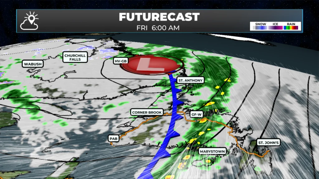
A cold front sweeps through tonight into Friday, colder air arrives for the weekend, and snow is in the forecast.
Does This Week End On An Unsettled Note?
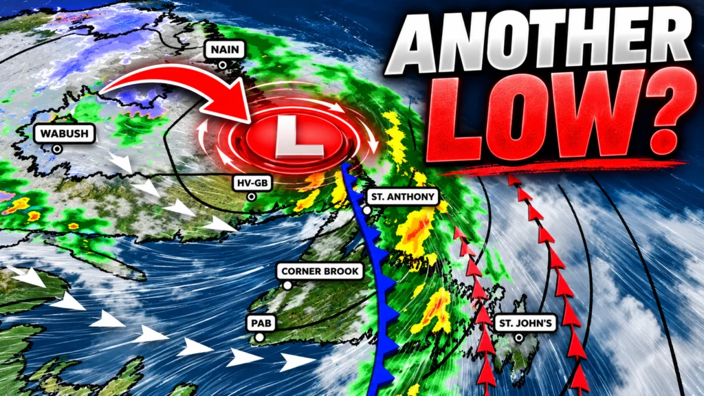
Conditions improve across Newfoundland and Labrador, but another low brings an unsettled end to the week.
A Better Wednesday Before Another Unsettled Stretch
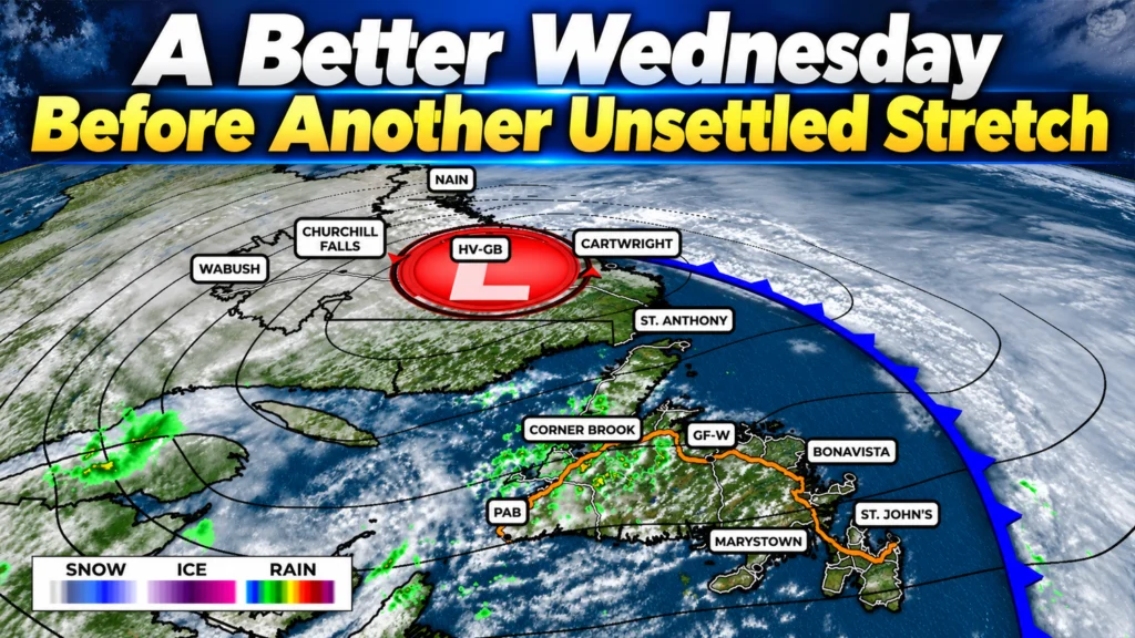
Wednesday brings a welcome improvement before another round of rain and snow arrives late Thursday into Friday, and the weekend turns unsettled and chilly.
Rain, Wind and Even Snow as a Slow-Moving Low Takes Over
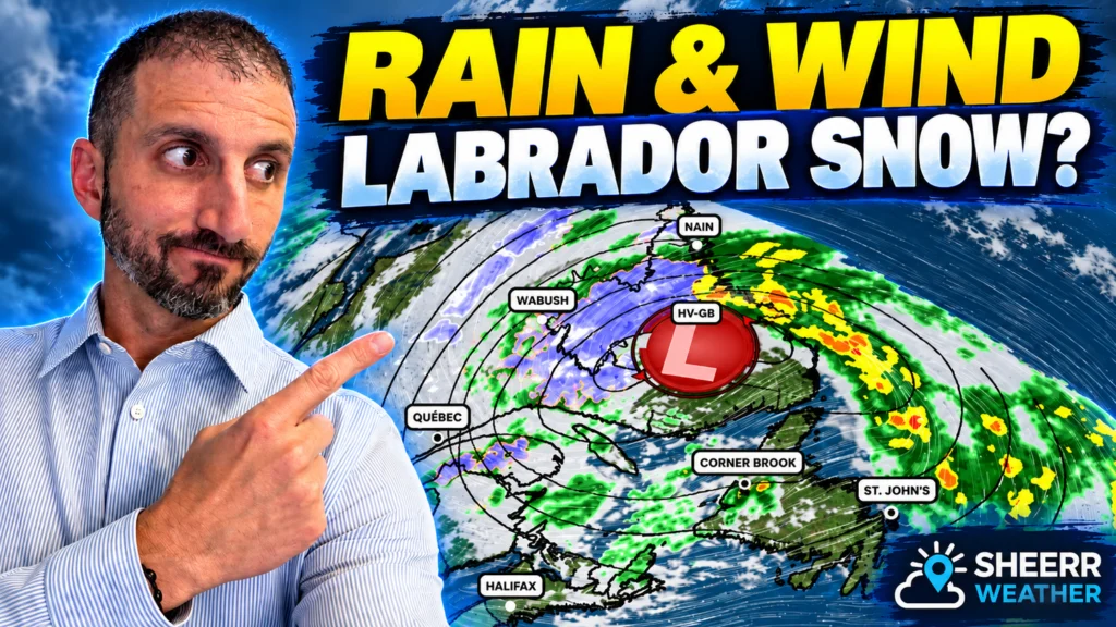
Rain has already arrived across central and western Newfoundland, and in a few areas it’s coming down hard. That rain will continue spreading east tonight as a slow-moving area of low pressure over Quebec begins a…
Rain Tonight, Wind Tuesday, and Snow for Labrador’s Hills
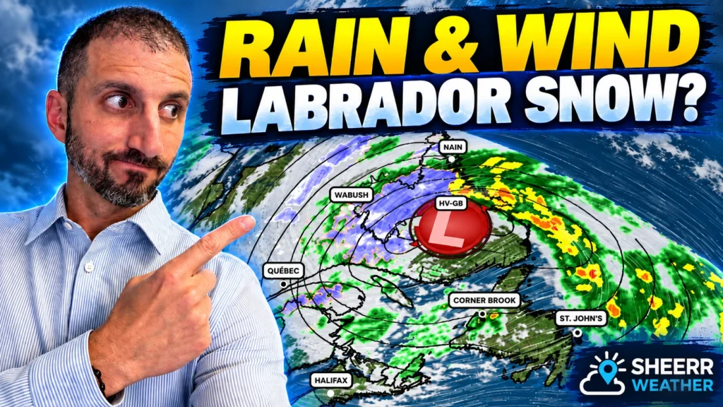
Rain is already heavy in parts of central and western Newfoundland, with heavy rain reaching the east overnight. Wind picks up Tuesday, and Labrador’s high terrain could see up to 30 cm of wet snow by Wednesday.
Cold Front Brings Cooler Temps For The Weekend
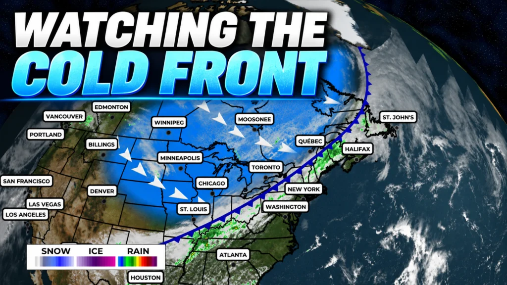
Rain is moving into western Newfoundland this afternoon, and that will be the start of a fairly quick change in the weather heading into Saturday. A cold front is dropping southeast across the province, and a small area…
After Thursday’s Record Highs, Cooler Air Makes a Return to the Province

This evening’s forecast is sponsored by: Thursday brought an unusually warm start to October across much of Newfoundland and Labrador, but a significant change is on the way. Temperatures climbed especially high across parts of Labrador, with unofficial record highs reported in places including Nain, Hopedale, Wabush and Makkovik. For parts of Labrador, Thursday may […]
Beautiful Thursday Before Rain Chances Increase — Then a Cooler Pattern Takes Hold
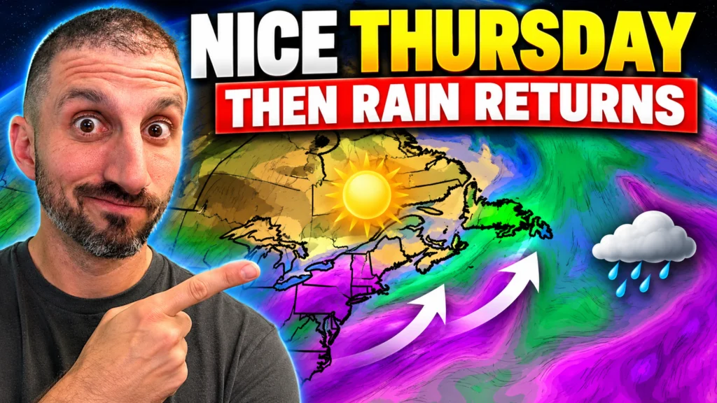
We’re heading into October on a pretty nice note across Newfoundland and Labrador, but there are signs of a change developing as we get closer to the weekend. Tonight will be quiet across Newfoundland, with lows…
This Morning’s Sunrise Was Wicked… Now What?!

Bright reds and oranges lit up the clouds across parts of Newfoundland, including Torbay, the Bay of Exploits and St. John’s. The reason comes down to the angle of the Sun. Near sunrise, sunlight has to travel through…